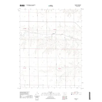
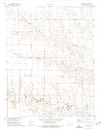
2018 Map of Alamota
USGS Topo · Published 2018About this map
Alamota sits at the center of this rural Lane County landscape, positioned along the drainage of S Fork Walnut Cr. This 2018 survey illustrates the geometric precision of the High Plains, where the Public Land Survey System has established a rigid grid of gravel routes and section lines. Notable named roads such as Rowdy Rd, Turkey Red, and S Tomahawk slice through the open terrain, providing access to the agricultural tracts that define the region. The map reveals the hydrology of the western Kansas prairie, tracing the paths of Buffalo Cr and Darr Cr as they cut through the elevation. For those studying the evolution of Lane County's transportation and land use, this sheet documents the persistent layout of local connectors like Alamota Rd and Vista Rd in the modern era.
Find a feature on this map
21 named features on this map. Tap any name to fly to it.
Don’t see what you’re looking for? This feature index may not catch every label — zoom into the map to look around manually.
Map Details
Editions of this 2018 Alamota Map
This is the sole edition of this map. No revisions or reprints were ever made.
Other maps of this area

1955 · Scott City
USGS Topo · 1:250,000

1958 · Scott City
USGS Topo · 1:250,000
1965 · Beeler
USGS Topo · 1:24,000
1965 · Utica SW
USGS Topo · 1:24,000
1974 · Dighton SW
USGS Topo · 1:24,000
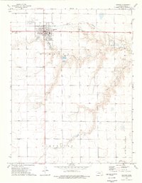
1974 · Dighton
USGS Topo · 1:24,000
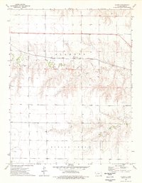
1974 · Alamota
USGS Topo · 1:24,000
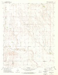
1974 · Beeler SW
USGS Topo · 1:24,000
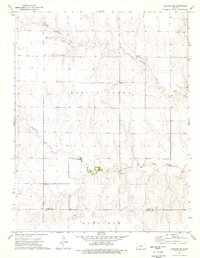
1974 · Dighton SE
USGS Topo · 1:24,000
1974 · Shields SE
USGS Topo · 1:24,000