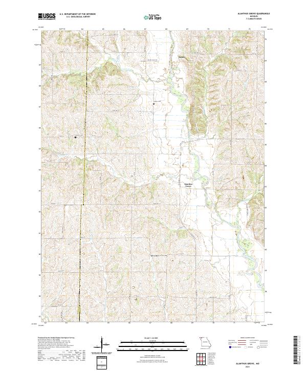
2021 Map of Alanthus Grove
USGS Topo · Published 2021About this map
Alanthus Grove and Enyart anchor this rural landscape in northwest Missouri, where the meandering course of the Grand River and its numerous tributaries define the local geography. The map reveals a deeply etched drainage pattern with local creeks like Munkres Br, Grantham Cr, and Zounds Cr cutting through the farmland. This survey highlights the enduring rural layout along the Nodaway and Gentry County line, documenting the location of family-centered landmarks such as Monroe Cem and Finders Cem.
Find a feature on this map
41 named features on this map. Tap any name to fly to it.
Don’t see what you’re looking for? This feature index may not catch every label — zoom into the map to look around manually.
Map Details
Editions of this 2021 Alanthus Grove Map
This is the sole edition of this map. No revisions or reprints were ever made.
Other maps of this area

1925 · Stanberry
USGS Topo · 1:62,500

1925 · Darlington
USGS Topo · 1:62,500

1939 · Stanberry
USGS Topo · 1:62,500

1940 · Parnell
USGS Topo · 1:62,500

1942 · Grant City
USGS Topo · 1:62,500

1943 · Parnell
USGS Topo · 1:62,500

1943 · Grant City
USGS Topo · 1:62,500

1943 · Stanberry
USGS Topo · 1:62,500

1950 · Darlington
USGS Topo · 1:62,500

1955 · Nebraska City
USGS Topo · 1:250,000
Featured Places
- Cooper Township, MO
- Jackson Township, MO
- Jefferson Township, MO
- Huggins Township, MO
- Wilson Township, MO