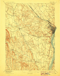
1898 Map of Albany
USGS Topo · Published 1907About this map
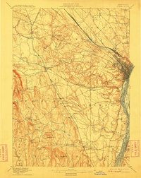
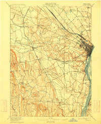
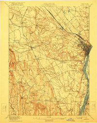
The Hudson River corridor serves as the industrial and transportation backbone for this late 19th-century landscape, where a dense network of iron rails converges on Albany. Significant railroad operations including the New York Central and Hudson River R. R. and the West Shore Railroad define the growth of surrounding townships like Colonie and Guilderland. Beyond the urban core, the map reveals a collection of specialized hamlets and landmarks such as the Shakers settlement in the north and French Mills along the Bozen Kill. The topographical detail captures the varied elevation from the flats of Westerlo Island to the prominent heights of Countryman Hill and Wolf Hill. Local history researchers can trace old crossroads like Town House Corner and Ireland Corner, while industrial interests are noted at sites like the Spray Kiln near South Bethlehem.
Find a feature on this map
86 named features on this map. Tap any name to fly to it.
Don’t see what you’re looking for? This feature index may not catch every label — zoom into the map to look around manually.
Map Details
Editions of this 1898 Albany Map
8 editions found

Other maps of this area

1893 · Cohoes
USGS Topo · 1:62,500

1893 · Troy
USGS Topo · 1:62,500

1893 · Schenectady
USGS Topo · 1:62,500

1893 · Coxsackie
USGS Topo · 1:62,500

1893 · Durham
USGS Topo · 1:62,500

1893 · Albany
USGS Topo · 1:62,500

1894 · Coxsackie
USGS Topo · 1:62,500

1894 · Durham
USGS Topo · 1:62,500

1895 · Troy
USGS Topo · 1:62,500

1895 · Cohoes
USGS Topo · 1:62,500