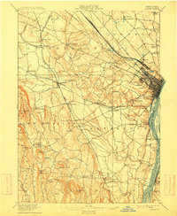
1898 Map of Albany
USGS Topo · Published 1915About this map
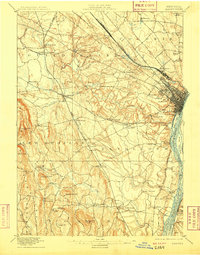
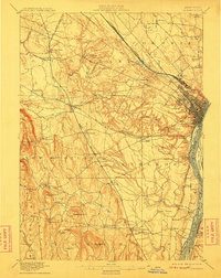
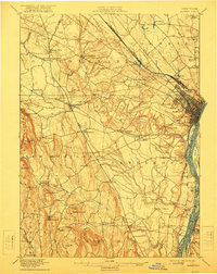
The city of Albany and its surrounding townships appear here at the close of the 19th century, revealing a landscape defined by the convergence of the Hudson River and major rail corridors. To the north, the enclave of Shakers and settlements like Newtonville and Loudonville mark the early development of Colonie. The heavy industrial footprint of the era is evident at West Albany, where the New York Central and Hudson River railroad complex dominates the terrain.
Find a feature on this map
88 named features on this map. Tap any name to fly to it.
Don’t see what you’re looking for? This feature index may not catch every label — zoom into the map to look around manually.
Map Details
Editions of this 1898 Albany Map
8 editions found

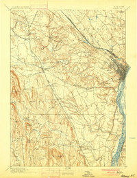
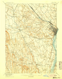
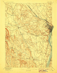
Other maps of this area

1893 · Cohoes
USGS Topo · 1:62,500

1893 · Troy
USGS Topo · 1:62,500

1893 · Schenectady
USGS Topo · 1:62,500

1893 · Coxsackie
USGS Topo · 1:62,500

1893 · Durham
USGS Topo · 1:62,500

1893 · Albany
USGS Topo · 1:62,500

1894 · Coxsackie
USGS Topo · 1:62,500

1894 · Durham
USGS Topo · 1:62,500

1895 · Troy
USGS Topo · 1:62,500

1895 · Cohoes
USGS Topo · 1:62,500