
1898 Map of Albany
USGS Topo · Published 1898About this map
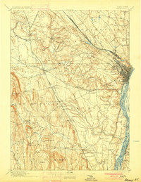
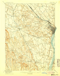
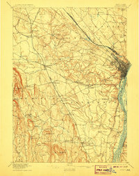
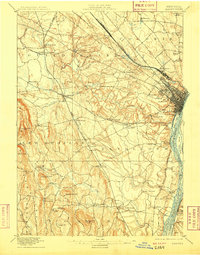
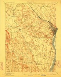
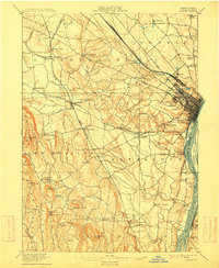
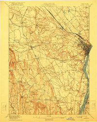
The growing capital city of Albany anchors this 1891 survey, situated at the busy intersection of the Hudson River and a dense network of major rail lines. The landscape reveals the industrial and transportation footprint of the late nineteenth century, dominated by the New York Central and Hudson River R.R. and the Delaware and Hudson Railroad. To the west and south, the terrain transitions from the lowlands of the Hudson to the prominent elevations of Countryman Hill and Wolf Hill, where smaller settlements like New Scotland and New Salem maintain a rural character.
Find a feature on this map
84 named features on this map. Tap any name to fly to it.
Don’t see what you’re looking for? This feature index may not catch every label — zoom into the map to look around manually.
Map Details
Editions of this 1898 Albany Map
8 editions found
Other maps of this area

1893 · Cohoes
USGS Topo · 1:62,500

1893 · Troy
USGS Topo · 1:62,500

1893 · Schenectady
USGS Topo · 1:62,500

1893 · Coxsackie
USGS Topo · 1:62,500

1893 · Durham
USGS Topo · 1:62,500

1893 · Albany
USGS Topo · 1:62,500

1894 · Coxsackie
USGS Topo · 1:62,500

1894 · Durham
USGS Topo · 1:62,500

1895 · Troy
USGS Topo · 1:62,500

1895 · Cohoes
USGS Topo · 1:62,500