
1927 Map of Albany
USGS Topo · Published 1927About this map
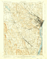
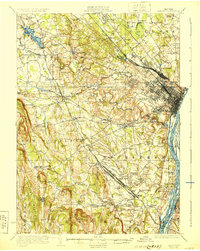
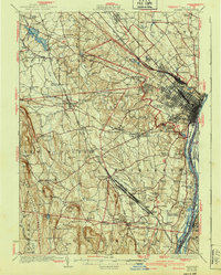
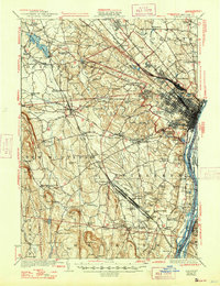
The Hudson River serves as the busy eastern corridor for this 1925 survey, where the Albany waterfront meets a dense network of major rail lines including the Delaware and Hudson and the New York Central. Moving west from the river, the landscape transitions from the industrial hub of West Albany and suburbanizing reaches of Colonie and Guilderland to the steep eastern face of the Helderberg Mountains. Notable for its high density of local landmarks, the sheet documents dozens of numbered schoolhouses, such as School No 17 and Cedar Grove School, alongside established rural centers like Slingerlands, Voorheesville, and Delmar. The presence of the Frenchs Hollow Reservoir and the nascent John Boyd Thacher Park reflects the era's focus on resource management and early recreational land use, while crossings like the Jericho Bridge and Mosher Bridge anchor the local road network.
Find a feature on this map
117 named features on this map. Tap any name to fly to it.
Don’t see what you’re looking for? This feature index may not catch every label — zoom into the map to look around manually.
Map Details
Editions of this 1927 Albany Map
5 editions found
Other maps of this area

1893 · Cohoes
USGS Topo · 1:62,500

1893 · Troy
USGS Topo · 1:62,500

1893 · Schenectady
USGS Topo · 1:62,500

1893 · Coxsackie
USGS Topo · 1:62,500

1893 · Durham
USGS Topo · 1:62,500

1893 · Albany
USGS Topo · 1:62,500

1894 · Coxsackie
USGS Topo · 1:62,500

1894 · Durham
USGS Topo · 1:62,500

1895 · Troy
USGS Topo · 1:62,500

1895 · Cohoes
USGS Topo · 1:62,500