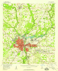
1956 Map of Albany
USGS Topo · Published 1958About this map
The Flint River corridor serves as the central artery for this mid-1950s Georgia landscape, anchoring the urban center of Albany and its surrounding agricultural and military districts. The city's post-war footprint is defined by its strategic transportation network, including the Central of Georgia and Atlantic Coast Line railroads, alongside a significant military presence at the Turner Air Force Base. To the north, the town of Leesburg and the sprawling Chehaw State Park illustrate the region's balance between development and conservation.
Find a feature on this map
107 named features on this map. Tap any name to fly to it.
Don’t see what you’re looking for? This feature index may not catch every label — zoom into the map to look around manually.
Map Details
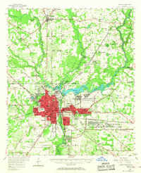
Editions of this 1956 Albany Map
2 editions found
Other maps of this area

1953 · Dothan
USGS Topo · 1:250,000

1953 · Waycross
USGS Topo · 1:250,000

1954 · Dothan
USGS Topo · 1:250,000

1955 · Dothan
USGS Topo · 1:250,000
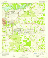
1956 · Albany East
USGS Topo · 1:24,000
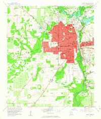
1956 · Albany West
USGS Topo · 1:24,000
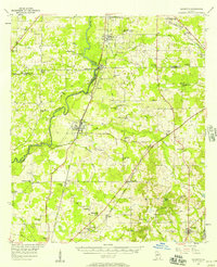
1956 · Baconton
USGS Topo · 1:62,500
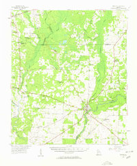
1956 · Newton
USGS Topo · 1:62,500
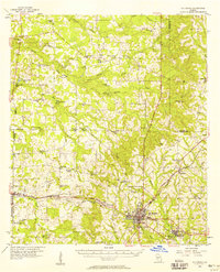
1956 · Sylvester
USGS Topo · 1:62,500
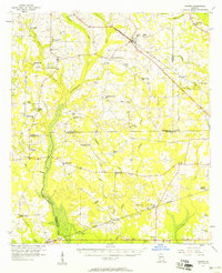
1956 · Sasser
USGS Topo · 1:62,500