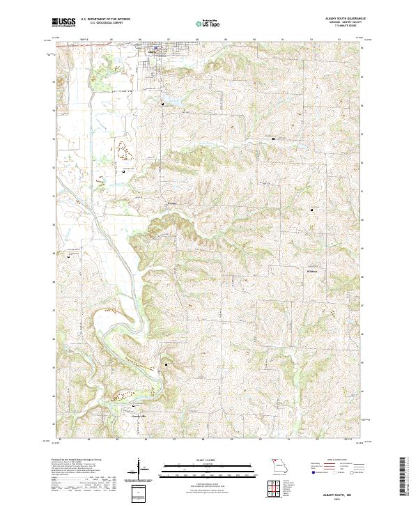
2021 Map of Albany South
USGS Topo · Published 2021About this map
Albany serves as the northern anchor of this landscape, where the Gentry County Courthouse stands as a central landmark for the county seat. The terrain is defined by the winding course of the East Fork Grand River, which joins the main Grand River south of Evona. This river valley and its numerous tributaries, such as Thompson Br and Boatright Br, dictate the settlement patterns and road networks that crisscross the region.
Find a feature on this map
77 named features on this map. Tap any name to fly to it.
Don’t see what you’re looking for? This feature index may not catch every label — zoom into the map to look around manually.
Map Details
Editions of this 2021 Albany South Map
This is the sole edition of this map. No revisions or reprints were ever made.
Other maps of this area

1925 · Pattonsburg
USGS Topo · 1:62,500

1925 · Darlington
USGS Topo · 1:62,500

1942 · Grant City
USGS Topo · 1:62,500

1943 · Grant City
USGS Topo · 1:62,500

1944 · Pattonsburg
USGS Topo · 1:62,500

1946 · Pattonsburg
USGS Topo · 1:48,000

1948 · Bethany
USGS Topo · 1:62,500

1948 · Pattonsburg
USGS Topo · 1:62,500

1950 · Darlington
USGS Topo · 1:62,500

1955 · Nebraska City
USGS Topo · 1:250,000