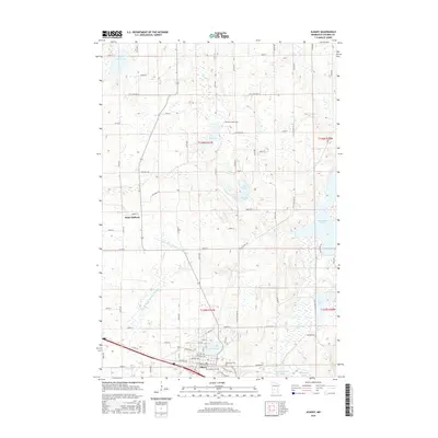
2016 Map of Albany
USGS Topo · Published 2016About this map
Albany anchors the southern portion of this landscape, situated near North Lake and the winding Two River. This modern survey documents the well-established agricultural and lake-strewn terrain of central Minnesota, where water management is visible through engineered features like County Ditch Number Fifteen and County Ditch Number Twenty-two. The settlement of Saint Anthony sits further north, connected by a network of county roads to several smaller water bodies, including Fish Lake and Bear Lake. For those researching local heritage, several significant burial grounds are preserved here, including Seven Dolors Cem near the town center and Saint Johns Cem further north. The geography is defined by its glacial heritage, seen in the numerous lakes like Two River Lake and the wetland-fed tributaries of Krain Cr that eventually join the larger river systems to the east.
Find a feature on this map
77 named features on this map. Tap any name to fly to it.
Don’t see what you’re looking for? This feature index may not catch every label — zoom into the map to look around manually.
Map Details
Editions of this 2016 Albany Map
This is the sole edition of this map. No revisions or reprints were ever made.
Other maps of this area

1948 · Little Falls
USGS Topo · 1:62,500

1950 · Swanville
USGS Topo · 1:62,500

1950 · Little Falls
USGS Topo · 1:62,500

1953 · Saint Cloud
USGS Topo · 1:250,000

1957 · Saint Cloud
USGS Topo · 1:250,000

1958 · Saint Cloud
USGS Topo · 1:250,000

1965 · Albany
USGS Topo · 1:24,000

1965 · Farming
USGS Topo · 1:24,000

1965 · Holdingford
USGS Topo · 1:24,000

1965 · Freeport
USGS Topo · 1:24,000
Featured Places
- Albany, MN
- St. Anthony, MN
- Saint Anthony, St. Anthony
- Shamrock Mobile Home Park, Albany
- Stearns County, MN