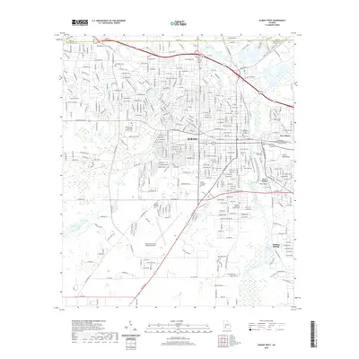
2020 Map of Albany West
USGS Topo · Published 2020About this map
The city of Albany dominates this landscape, serving as a hub where the Flint River meets the tracks of the Georgia Southwestern RR. The area is characterized by significant educational and civic institutions, including the Dougherty County Courthouse and multiple campuses for Albany State University. The urban layout transitions from the dense streets of the city center to residential developments and specialized zones, such as the Southwest Georgia Regional Airport and Albany Technical College.
Find a feature on this map
338 named features on this map. Tap any name to fly to it.
Don’t see what you’re looking for? This feature index may not catch every label — zoom into the map to look around manually.
Map Details
Editions of this 2020 Albany West Map
This is the sole edition of this map. No revisions or reprints were ever made.
Other maps of this area

1953 · Dothan
USGS Topo · 1:250,000

1954 · Dothan
USGS Topo · 1:250,000

1955 · Dothan
USGS Topo · 1:250,000

1956 · Albany East
USGS Topo · 1:24,000

1956 · Albany West
USGS Topo · 1:24,000

1956 · Baconton
USGS Topo · 1:62,500

1956 · Newton
USGS Topo · 1:62,500

1956 · Sasser
USGS Topo · 1:62,500

1956 · Albany
USGS Topo · 1:62,500

1973 · Sasser
USGS Topo · 1:24,000