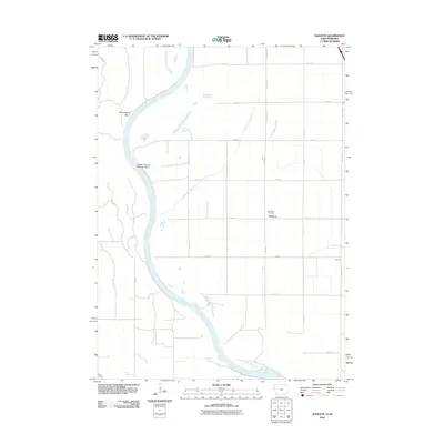
2012 Map of Albaton
USGS Topo · Published 2012About this map
Missouri River currents define the western edge of this landscape, carving the prominent Winnebago Bend and Upper Omaha Mission Bend along the Iowa-Nebraska border. The interior terrain is organized by a precise grid of rural roads and drainage infrastructure, such as the Sand Hill Lake Ditch, which supports the agricultural character of Monona County. The small settlement of Albaton serves as a central landmark, situated near the Fairview Cemetery and the intersection of 120th St and Aspen Ave. To the east, the map records the location of Lossing near the junction of Co Hwy K42. This survey illustrates the relationship between the river's natural meanders and the managed irrigation and transport networks that have shaped this portion of the Missouri River valley into the early 21st century.
Find a feature on this map
26 named features on this map. Tap any name to fly to it.
Don’t see what you’re looking for? This feature index may not catch every label — zoom into the map to look around manually.
Map Details
Editions of this 2012 Albaton Map
This is the sole edition of this map. No revisions or reprints were ever made.
Other maps of this area

1955 · Sioux City
USGS Topo · 1:250,000

1958 · Sioux City
USGS Topo · 1:250,000

1959 · Sioux City
USGS Topo · 1:250,000

1964 · Luton
USGS Topo · 1:24,000

1964 · Homer
USGS Topo · 1:24,000

1964 · Salix
USGS Topo · 1:24,000

1966 · Walthill SW
USGS Topo · 1:24,000

1966 · Walthill
USGS Topo · 1:24,000

1966 · Macy
USGS Topo · 1:24,000

1969 · Albaton
USGS Topo · 1:24,000