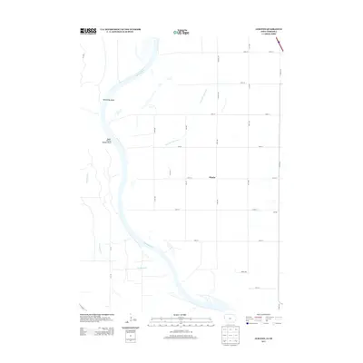
2013 Map of Albaton
USGS Topo · Published 2013About this map
The Missouri River carves a massive, winding path through this portion of Monona County, defining the boundary between Iowa and Nebraska. The river’s shifting nature is evident in the dramatic arcs of Winnebago Bend and Upper Omaha Mission Bend, which shape the western landscape. These wide alluvial plains are marked by significant hydrological modifications designed to manage water flow across the flat valley floor, most notably the Sand Hill Lake Ditch which cuts across the central section of the map.
Find a feature on this map
29 named features on this map. Tap any name to fly to it.
Don’t see what you’re looking for? This feature index may not catch every label — zoom into the map to look around manually.
Map Details
Editions of this 2013 Albaton Map
This is the sole edition of this map. No revisions or reprints were ever made.
Other maps of this area

1955 · Sioux City
USGS Topo · 1:250,000

1958 · Sioux City
USGS Topo · 1:250,000

1959 · Sioux City
USGS Topo · 1:250,000

1964 · Luton
USGS Topo · 1:24,000

1964 · Homer
USGS Topo · 1:24,000

1964 · Salix
USGS Topo · 1:24,000

1966 · Walthill SW
USGS Topo · 1:24,000

1966 · Walthill
USGS Topo · 1:24,000

1966 · Macy
USGS Topo · 1:24,000

1969 · Albaton
USGS Topo · 1:24,000