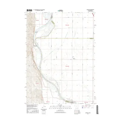
2015 Map of Albaton
USGS Topo · Published 2015About this map
The Missouri River defines the western edge of this landscape, its path marked by deep curves at Winnebago Bend and Upper Omaha Mission Bend. This riverfront environment transitions into a highly organized agricultural grid, where the small settlement of Albaton sits near Fairview Cem along 120th ST. The drainage of the low-lying plains is managed through the Sand Hill Lake Ditch, which cuts diagonally across the township lines. Historical tribal and state boundaries intersect here, with the map recording the meeting of Monona Co, Woodbury Co, and Thurston Co across the Iowa and Nebraska state line. The road network, including Joe Marshall Way and several Bia Rd 6 routes, provides access to the river's edge and the isolated pockets of terrain formed by the changing course of the water.
Find a feature on this map
45 named features on this map. Tap any name to fly to it.
Don’t see what you’re looking for? This feature index may not catch every label — zoom into the map to look around manually.
Map Details
Editions of this 2015 Albaton Map
This is the sole edition of this map. No revisions or reprints were ever made.
Other maps of this area

1955 · Sioux City
USGS Topo · 1:250,000

1958 · Sioux City
USGS Topo · 1:250,000

1959 · Sioux City
USGS Topo · 1:250,000

1964 · Luton
USGS Topo · 1:24,000

1964 · Homer
USGS Topo · 1:24,000

1964 · Salix
USGS Topo · 1:24,000

1966 · Walthill SW
USGS Topo · 1:24,000

1966 · Walthill
USGS Topo · 1:24,000

1966 · Macy
USGS Topo · 1:24,000

1969 · Albaton
USGS Topo · 1:24,000