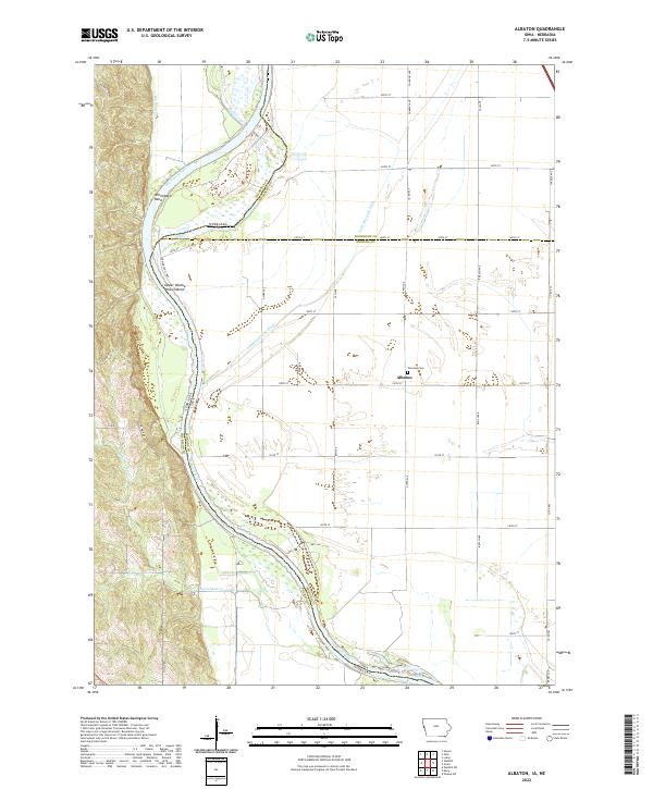
2022 Map of Albaton
USGS Topo · Published 2022About this map
Missouri River hydrology defines the borderlands of Albaton, where the channel winds through complex landform features like Winnebago Bend and Upper Omaha Mission Bend. This landscape is heavily shaped by agricultural water management, evidenced by the extensive path of the Sand Hill Lake Ditch and numerous small drainage channels cutting across the lowlands of Monona and Woodbury counties. The settlement of Albaton is a small focal point in this rural expanse, situated near Fairview Cem. The terrain shifts from the river bottom to the bluffs where Big Bear Cr and Horsehead Cr meet the floodplain. The map captures the intersection of several county and state boundaries, illustrating how the shifting river course has necessitated complex jurisdictional lines between Iowa and Nebraska.
Find a feature on this map
65 named features on this map. Tap any name to fly to it.
Don’t see what you’re looking for? This feature index may not catch every label — zoom into the map to look around manually.
Map Details
Editions of this 2022 Albaton Map
This is the sole edition of this map. No revisions or reprints were ever made.
Other maps of this area

1955 · Sioux City
USGS Topo · 1:250,000

1958 · Sioux City
USGS Topo · 1:250,000

1959 · Sioux City
USGS Topo · 1:250,000

1964 · Luton
USGS Topo · 1:24,000

1964 · Homer
USGS Topo · 1:24,000

1964 · Salix
USGS Topo · 1:24,000

1966 · Walthill SW
USGS Topo · 1:24,000

1966 · Walthill
USGS Topo · 1:24,000

1966 · Macy
USGS Topo · 1:24,000

1969 · Albaton
USGS Topo · 1:24,000