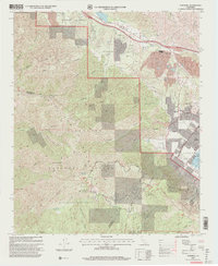
1997 Map of Alberhill
USGS Topo · Published 2000About this map
Industrial activity at Alberhill and the rugged northern reaches of the Santa Ana Mountains define this late-twentieth-century landscape. The area around the Temescal Valley shows a clear concentration of heavy industry, including a Ceramic Factory, a large Clay Pit, and a nearby Quarry, while the Corona Freeway cuts through Walker Canyon to the east. These industrial features contrast sharply with the expansive Cleveland National Forest that dominates the southern and western portions of the quadrangle. High points like Trabuco Peak and Los Pinos Peak overlook a complex system of drainage's including Horsethief Canyon and Rice Canyon. The map captures the edge of residential development near Lake Elsinore, where a Mobile Home Park sits adjacent to the Laguna Grant boundary. Higher elevations within the forest are marked by recreational sites such as the Falcon (Group) campground and the El Cariso Nature Trail.
Find a feature on this map
54 named features on this map. Tap any name to fly to it.
Don’t see what you’re looking for? This feature index may not catch every label — zoom into the map to look around manually.
Map Details
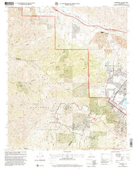
Editions of this 1997 Alberhill Map
2 editions found
Other maps of this area

1901 · Southern California Sheet No. 1
USGS Topo · 1:250,000

1901 · Elsinore
USGS Topo · 1:125,000

1901 · Riverside
USGS Topo · 1:62,500

1902 · Corona
USGS Topo · 1:125,000

1904 · Southern California Sheet No. 1
USGS Topo · 1:250,000

1942 · Lake Elsinore
USGS Topo · 1:62,500

1942 · Santiago Peak
USGS Topo · 1:62,500

1942 · Corona
USGS Topo · 1:62,500

1942 · Riverside
USGS Topo · 1:62,500
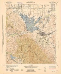
1943 · Corona
USGS Topo · 1:62,500