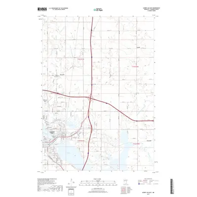
2019 Map of Albert Lea East
USGS Topo · Published 2019About this map
The city of Albert Lea serves as a major regional hub where Interstate 90 and Interstate 35 converge, surrounded by a complex network of glacial lakes. Notable water features include the extensive Albert Lea Lake, Fountain Lake, and the smaller Goose Lake, which shape the urban layout and provide natural boundaries for the community. The presence of Katherine Island within Fountain Lake highlights the recreational and aesthetic character of the city center.
Find a feature on this map
125 named features on this map. Tap any name to fly to it.
Don’t see what you’re looking for? This feature index may not catch every label — zoom into the map to look around manually.
Map Details
Editions of this 2019 Albert Lea East Map
This is the sole edition of this map. No revisions or reprints were ever made.
Other maps of this area

1954 · Albert Lea
USGS Topo · 1:62,500

1954 · Hayward
USGS Topo · 1:62,500

1954 · Mason City
USGS Topo · 1:250,000

1957 · Mason City
USGS Topo · 1:250,000

1958 · Mason City
USGS Topo · 1:250,000

1967 · Hollandale
USGS Topo · 1:24,000

1967 · Hartland
USGS Topo · 1:24,000

1967 · Ellendale
USGS Topo · 1:24,000

1982 · Hayward
USGS Topo · 1:24,000

1982 · Albert Lea West
USGS Topo · 1:24,000