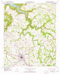
1947 Map of Albertville
USGS Topo · Published 1965About this map
Albertville serves as the primary hub in this Marshall County landscape, where the Nashville Chattanooga and St Louis Railway and the Florida Short Route converge. The topography is defined by the winding course of Short Creek, which feeds into the expansive Guntersville Lake at the northern edge. Significant local heritage is preserved through numerous rural institutions, including Brashier Chapel School and Corbinville Sch, alongside several community landmarks like Rice Mill Bridge and Short Creek Falls. The map captures the area's transition into a recreation destination with the presence of Little Mountain State Park overlooking the lake. Farther south, the infrastructure of the Albertville-Boaz Water Supply and the Radio tower WAVU indicates the post-war modernization of this North Alabama plateau.
Find a feature on this map
59 named features on this map. Tap any name to fly to it.
Don’t see what you’re looking for? This feature index may not catch every label — zoom into the map to look around manually.
Map Details
Editions of this 1947 Albertville Map
4 editions found
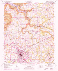
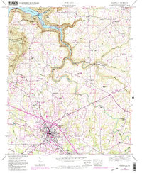

Other maps of this area

1885 · Gadsden
USGS Topo · 1:125,000

1888 · Gadsden
USGS Topo · 1:125,000

1892 · Gadsden
USGS Topo · 1:125,000

1895 · Gadsden
USGS Topo · 1:125,000

1903 · Gadsden
USGS Topo · 1:125,000

1936 · Painter
USGS Topo · 1:24,000

1936 · Guntersville
USGS Topo · 1:24,000

1936 · Mountainboro
USGS Topo · 1:24,000

1936 · Columbus City
USGS Topo · 1:24,000

1936 · Rodentown
USGS Topo · 1:24,000