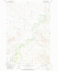
1980 Map of Albion
USGS Topo · Published 1980About this map
The Little Missouri River meanders through this southeastern Montana landscape, defining the character of the settlement at Albion. This 1980 survey reveals a prairie environment where water is the primary organizing force, evidenced by the convergence of Ninemile Creek, Twelvemile Creek, and Cottonwood Creek near the river's path. The terrain is marked by distinct geological features such as the Butcher Hills and various unnamed buttes that rise above the drainage basins of North Hamilton Creek and South Hamilton Creek.
Find a feature on this map
15 named features on this map. Tap any name to fly to it.
Don’t see what you’re looking for? This feature index may not catch every label — zoom into the map to look around manually.
Map Details
Editions of this 1980 Albion Map
This is the sole edition of this map. No revisions or reprints were ever made.
Other maps of this area
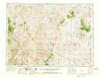
1954 · Ekalaka
USGS Topo · 1:250,000
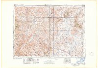
1956 · Ekalaka
USGS Topo · 1:250,000
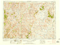
1958 · Ekalaka
USGS Topo · 1:250,000
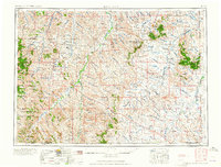
1965 · Ekalaka
USGS Topo · 1:250,000
1980 · Alzada NW
USGS Topo · 1:24,000
1980 · Elkhorn Creek SW
USGS Topo · 1:24,000
1980 · Cactus Creek West
USGS Topo · 1:24,000
1980 · Finger Buttes East
USGS Topo · 1:24,000
1980 · Sevenmile Creek
USGS Topo · 1:24,000
1980 · Alzada
USGS Topo · 1:24,000