
1980 Map of Cactus Creek West
USGS Topo · Published 1980About this map
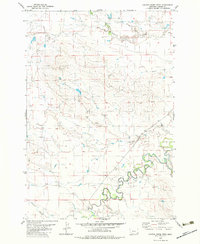
The Little Missouri River carves a winding path through this southeastern corner of Montana, creating a complex network of oxbows and meanders in the lower reaches of the quadrangle. This 1980 study, based on 1970s aerial photography, reveals a landscape defined by its drainages, where seasonal watercourses like Cottonwood Creek and Cactus Creek feed into the river system. The presence of a noted Ford across the main channel indicates a point of transit in an area otherwise dominated by the natural topography of the river valley. Further south, the map tracks the headwaters of Elkhorn Creek and Blacktail Creek, showcasing the transition from upland terrain to the river basin. The map preserves the precise section lines and township boundaries of T 5 S, T 6 S, and T 7 S, providing a foundational record of land division in Carter County during the late twentieth century.
Find a feature on this map
10 named features on this map. Tap any name to fly to it.
Don’t see what you’re looking for? This feature index may not catch every label — zoom into the map to look around manually.
Map Details
Editions of this 1980 Cactus Creek West Map
2 editions found
Other maps of this area

1954 · Ekalaka
USGS Topo · 1:250,000

1956 · Ekalaka
USGS Topo · 1:250,000

1958 · Ekalaka
USGS Topo · 1:250,000

1965 · Ekalaka
USGS Topo · 1:250,000

1980 · Finger Buttes East
USGS Topo · 1:24,000
1980 · Albion
USGS Topo · 1:24,000
1980 · Elkhorn Creek East
USGS Topo · 1:24,000
1980 · Capitol NW
USGS Topo · 1:24,000
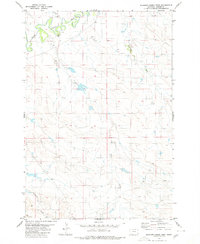
1980 · Elkhorn Creek West
USGS Topo · 1:24,000
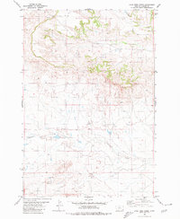
1980 · Lone Tree Creek
USGS Topo · 1:24,000