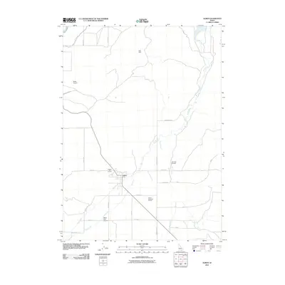
2010 Map of Albion
USGS Topo · Published 2010About this map
Albion sits at the heart of this high-desert basin, where the confluence of several mountain streams supports a network of agricultural roads and irrigation canals. The settlement pattern is defined by a grid of local routes like Mile Ln and Walton Ln that surround the community and the nearby Albion Municipal Airport. To the north and west, the terrain rises into the East Hills, carved by drainages such as Water Canyon and White Pine Canyon.
Find a feature on this map
30 named features on this map. Tap any name to fly to it.
Don’t see what you’re looking for? This feature index may not catch every label — zoom into the map to look around manually.
Map Details
Editions of this 2010 Albion Map
This is the sole edition of this map. No revisions or reprints were ever made.
Other maps of this area

1954 · Pocatello
USGS Topo · 1:250,000

1958 · Pocatello
USGS Topo · 1:250,000

1959 · Lake Walcott
USGS Topo · 1:62,500

1964 · Rupert SE
USGS Topo · 1:24,000

1964 · View
USGS Topo · 1:24,000

1964 · Rupert SW
USGS Topo · 1:24,000

1968 · Idahome
USGS Topo · 1:24,000

1968 · Mount Harrison
USGS Topo · 1:24,000

1968 · Nibbs Creek
USGS Topo · 1:24,000

1968 · Albion
USGS Topo · 1:24,000