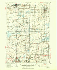
1950 Map of Albion
USGS Topo · Published 1956About this map
The Erie Canal cuts through the northern landscape of this region, passing through Albion and Holley as a defining corridor of commerce and transport. The mid-century topography reflects a balance of institutional development and vast natural wetlands, notably the Batavia Swamp and the Byron Bergen Swamp Wildlife Sanctuary. Local infrastructure is well-defined, ranging from the State Training School for Girls near Albion to the early layout of the New York Thruway cutting across the southern reaches.
Find a feature on this map
89 named features on this map. Tap any name to fly to it.
Don’t see what you’re looking for? This feature index may not catch every label — zoom into the map to look around manually.
Map Details
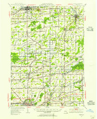
Editions of this 1950 Albion Map
2 editions found
Other maps of this area

1897 · Albion
USGS Topo · 1:62,500

1897 · Medina
USGS Topo · 1:62,500

1897 · Oak Orchard
USGS Topo · 1:62,500

1897 · Ridgeway
USGS Topo · 1:62,500

1899 · Hamlin
USGS Topo · 1:62,500

1899 · Brockport
USGS Topo · 1:62,500

1904 · Batavia
USGS Topo · 1:62,500

1904 · Caledonia
USGS Topo · 1:62,500

1905 · Attica
USGS Topo · 1:62,500

1932 · Hamlin
USGS Topo · 1:24,000