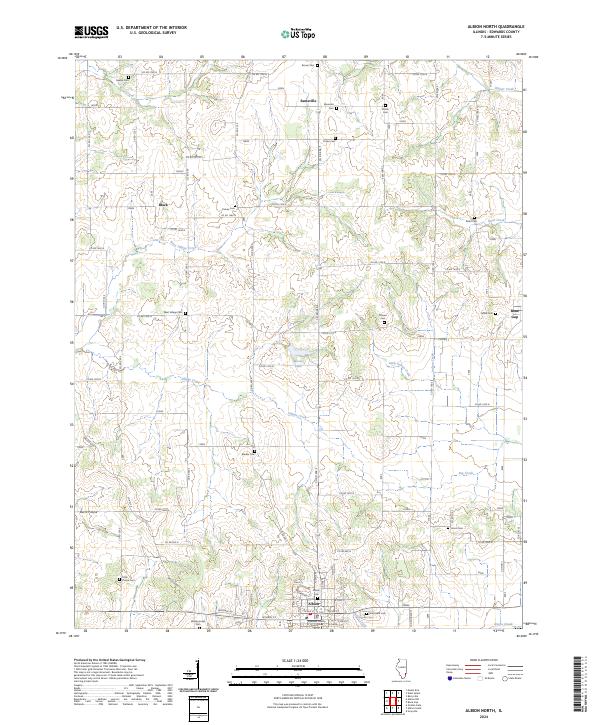
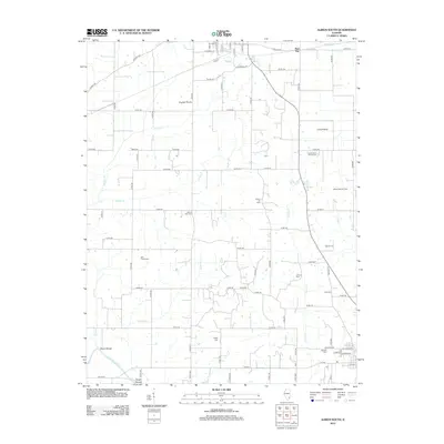
2024 Map of Albion North
USGS Topo · Published 2024About this map
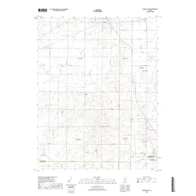
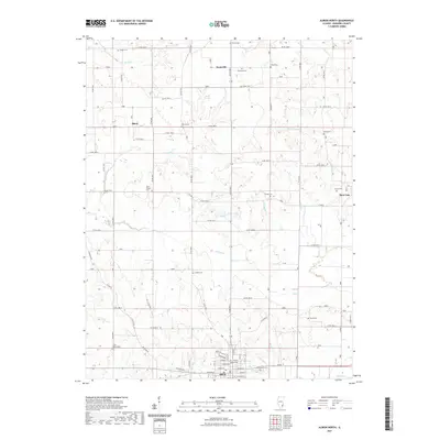
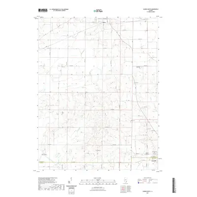
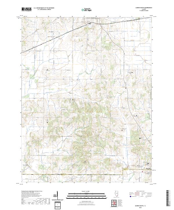
The Edwards County Courthouse in Albion anchors this study of north-central Edwards County, where agricultural grid roads navigate a landscape carved by the Village Creek and West Village Creek drainage systems. This 2024 edition documents a region defined by its dispersed rural settlements and a remarkably dense network of family and community burial grounds. From the northern hamlets of Samsville and Black to the eastern edge at Bone Gap, the map reveals the local geography of early Illinois settlement.
Find a feature on this map
59 named features on this map. Tap any name to fly to it.
Don’t see what you’re looking for? This feature index may not catch every label — zoom into the map to look around manually.
Map Details
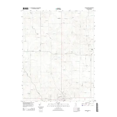
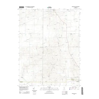
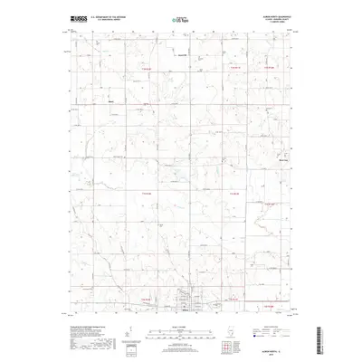
Editions of this 2024 Albion North Map
This is the sole edition of this map. No revisions or reprints were ever made.
Historical Maps of Albion Through Time
12 maps found
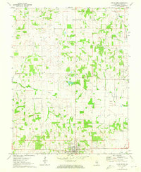
1971 Albion North
Edwards County, IL
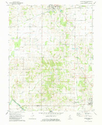
1971 Albion South
Edwards County, IL
2012 Albion North
Edwards County, IL
2012 Albion South
Edwards County, IL
2015 Albion North
Edwards County, IL
2015 Albion South
Edwards County, IL
2018 Albion North
Edwards County, IL
2018 Albion South
Edwards County, IL
2021 Albion North
Edwards County, IL
2021 Albion South
Edwards County, IL
2024 Albion North
Edwards County, IL
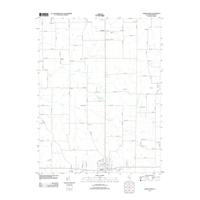
2024 Albion South
Edwards County, IL