
1944 Map of Albion
USGS Topo · Published 1944About this map
The Erie Canal cuts through the northern edge of this Orleans County landscape, anchoring the bustling village of Albion during the mid-1940s. The village serves as a concentrated hub of institutions, including the NY State Training School for Girls and the Mt Albion Cem, situated along the Niagara Hudson System (Falls Branch) rail line. Beyond the village, the land transitions into the rural townships of Barre and Elba, where a network of numbered schoolhouses, such as School No 13 and School No 10, marks the center of agricultural life.
Find a feature on this map
56 named features on this map. Tap any name to fly to it.
Don’t see what you’re looking for? This feature index may not catch every label — zoom into the map to look around manually.
Map Details
Editions of this 1944 Albion Map
This is the sole edition of this map. No revisions or reprints were ever made.
Other maps of this area

1897 · Albion
USGS Topo · 1:62,500

1897 · Medina
USGS Topo · 1:62,500

1897 · Oak Orchard
USGS Topo · 1:62,500

1897 · Ridgeway
USGS Topo · 1:62,500

1944 · Holley
USGS Topo · 1:31,680

1944 · Byron
USGS Topo · 1:31,680

1944 · Ashwood
USGS Topo · 1:31,680

1949 · Kendall
USGS Topo · 1:62,500
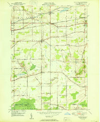
1950 · Knowlesville
USGS Topo · 1:24,000
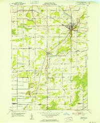
1950 · Holley
USGS Topo · 1:24,000