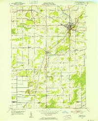
1950 Map of Holley
USGS Topo · Published 1952About this map
The Erie Canal flows through the northern reaches of this Orleans County landscape, anchoring the village of Holley during the early 1950s. The village serves as a central hub where the canal intersects with the New York Central Railroad, illustrating a classic New York transportation corridor. To the south, the terrain transitions into a more rural pattern of orchards and scattered farmsteads across the town of Clarendon. Local history is deeply etched into the land through a series of namesake burial grounds and educational landmarks, including Hillside Cem, Maplewood Cem, and the Robinson Hill Sch site. The drainage of Sandy Creek and its East Branch defines the local topography, leading toward prominent elevations like Honest Hill. Smaller settlements such as Fancher and Manning further delineate the late-industrial agricultural character of the region.
Find a feature on this map
43 named features on this map. Tap any name to fly to it.
Don’t see what you’re looking for? This feature index may not catch every label — zoom into the map to look around manually.
Map Details
Editions of this 1950 Holley Map
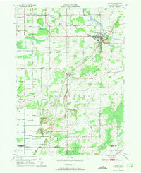
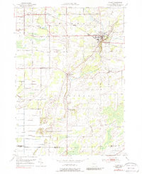
Other maps of this area

1897 · Albion
USGS Topo · 1:62,500

1897 · Oak Orchard
USGS Topo · 1:62,500

1899 · Hamlin
USGS Topo · 1:62,500

1899 · Brockport
USGS Topo · 1:62,500

1932 · Hamlin
USGS Topo · 1:24,000

1934 · Brockport
USGS Topo · 1:24,000

1935 · Churchville
USGS Topo · 1:24,000

1935 · Hamlin
USGS Topo · 1:24,000

1944 · Churchville
USGS Topo · 1:31,680

1944 · Holley
USGS Topo · 1:31,680