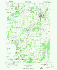
1950 Map of Holley
USGS Topo · Published 1971About this map
The Erie Canal cuts through the northeast corner of this Orleans County landscape, passing through the village of Holley. This 1950 topographic survey, based on 1942 aerial photography, documents a transition from industrial transport to a rural agricultural economy. The New York Central Railroad parallels the canal, serving as a primary corridor for the small hamlets of Fancher and Holley.
Find a feature on this map
36 named features on this map. Tap any name to fly to it.
Don’t see what you’re looking for? This feature index may not catch every label — zoom into the map to look around manually.
Map Details
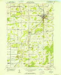
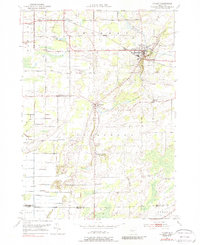
Editions of this 1950 Holley Map
Other maps of this area

1897 · Albion
USGS Topo · 1:62,500

1897 · Oak Orchard
USGS Topo · 1:62,500

1899 · Hamlin
USGS Topo · 1:62,500

1899 · Brockport
USGS Topo · 1:62,500

1932 · Hamlin
USGS Topo · 1:24,000

1934 · Brockport
USGS Topo · 1:24,000

1935 · Churchville
USGS Topo · 1:24,000

1935 · Hamlin
USGS Topo · 1:24,000

1944 · Churchville
USGS Topo · 1:31,680

1944 · Holley
USGS Topo · 1:31,680