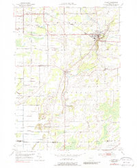
1950 Map of Holley
USGS Topo · Published 1988About this map
The Erie Canal cuts through the northeastern corner of this Orleans County landscape, passing through the village of Holley where a Guard Gate regulates the historic waterway. During the mid-20th century, the New York Central railroad paralleled the canal, supporting the agricultural economy of the townships of Murray and Clarendon. This survey preserves the locations of numerous local institutions, including School No 9 and School No 12, which served the dispersed farming communities at Fancher, Manning, and Bennetts Corners.
Find a feature on this map
35 named features on this map. Tap any name to fly to it.
Don’t see what you’re looking for? This feature index may not catch every label — zoom into the map to look around manually.
Map Details
Editions of this 1950 Holley Map
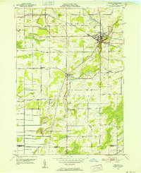
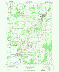
Other maps of this area

1897 · Albion
USGS Topo · 1:62,500

1897 · Oak Orchard
USGS Topo · 1:62,500

1899 · Hamlin
USGS Topo · 1:62,500

1899 · Brockport
USGS Topo · 1:62,500

1932 · Hamlin
USGS Topo · 1:24,000

1934 · Brockport
USGS Topo · 1:24,000

1935 · Churchville
USGS Topo · 1:24,000

1935 · Hamlin
USGS Topo · 1:24,000

1944 · Churchville
USGS Topo · 1:31,680

1944 · Holley
USGS Topo · 1:31,680