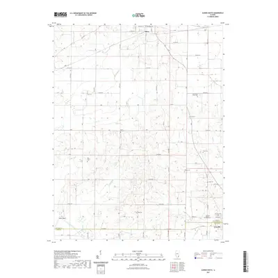
2021 Map of Albion South
USGS Topo · Published 2021About this map
Albion and Grayville anchor this Edwards and White County landscape, where the Little Wabash River winds through the southwestern corner. The terrain is defined by a dense network of local watercourses including Butter Cr, Harper Cr, and Stinking Cr, which create the undulating topography between the organized grid of county roads. For genealogists and local historians, the sheet is an exceptional record of family and community burial grounds, preserving the locations of sites like the James Hean Family Cem and the Birk Prairie Cem. The transition from the municipal streets of Albion in the north to the river-bottom landscape near Dixon Shoals provides a clear view of the regional drainage patterns and rural settlement structure as it exists today. The confluence of Onion Cr and French Cr illustrates the complex hydrology that historically influenced land use and road placement throughout the quadrangle.
Find a feature on this map
46 named features on this map. Tap any name to fly to it.
Don’t see what you’re looking for? This feature index may not catch every label — zoom into the map to look around manually.
Map Details
Editions of this 2021 Albion South Map
This is the sole edition of this map. No revisions or reprints were ever made.
Other maps of this area

1903 · New Harmony
USGS Topo · 1:62,500

1903 · Patoka
USGS Topo · 1:125,000

1904 · Mount Carmel
USGS Topo · 1:62,500

1938 · New Harmony
USGS Topo · 1:62,500

1940 · Carmi
USGS Topo · 1:62,500

1943 · Carmi
USGS Topo · 1:62,500

1943 · Albion
USGS Topo · 1:62,500

1946 · Albion
USGS Topo · 1:62,500

1956 · Vincennes
USGS Topo · 1:250,000

1957 · Vincennes
USGS Topo · 1:250,000