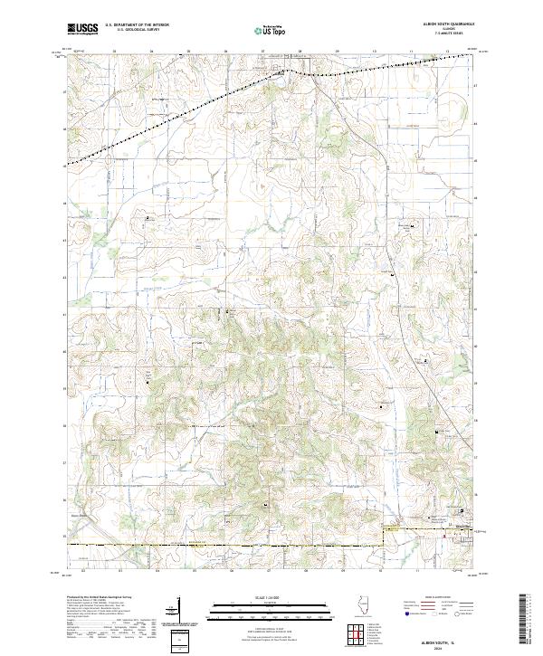
2024 Map of Albion South
USGS Topo · Published 2024About this map
Albion and Grayville anchor the northern and southern edges of this landscape where the Little Wabash River winds through the southwestern corner near Dixon Shoals. The survey reveals a high density of small burial grounds throughout the countryside, often bearing the names of early settlers such as the James Hean Family Cem, Jacobs Cem, and Birk Prairie Cem. The rural road network, defined by routes like Co RD 650 N and Co RD 100 N, connects these isolated points of local history. Across the border of Edwards Co and White Co, the terrain transitions from the lowlands of Sinking Creek and French Creek to the prominent rise of Red Hill. This contemporary mapping provides a detailed look at how historical church and family plots, such as Holy Name Catholic Church Cem, remain preserved within a modern agricultural framework.
Find a feature on this map
46 named features on this map. Tap any name to fly to it.
Don’t see what you’re looking for? This feature index may not catch every label — zoom into the map to look around manually.
Map Details
Editions of this 2024 Albion South Map
This is the sole edition of this map. No revisions or reprints were ever made.
Other maps of this area

1903 · New Harmony
USGS Topo · 1:62,500

1903 · Patoka
USGS Topo · 1:125,000

1904 · Mount Carmel
USGS Topo · 1:62,500

1938 · New Harmony
USGS Topo · 1:62,500

1940 · Carmi
USGS Topo · 1:62,500

1943 · Carmi
USGS Topo · 1:62,500

1943 · Albion
USGS Topo · 1:62,500

1946 · Albion
USGS Topo · 1:62,500

1956 · Vincennes
USGS Topo · 1:250,000

1957 · Vincennes
USGS Topo · 1:250,000