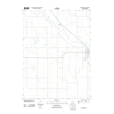
2011 Map of Albion West
USGS Topo · Published 2011About this map
Beaver Creek meanders through this agricultural landscape in Boone County, defining the drainage patterns just west of the town of Albion. The land is shaped by local water management and rural infrastructure, evidenced by Koinzan Dam and the Kohtz-City of Albion Dam situated near the municipal limits. This period shows a well-established road network including Mill Rd and Old Mill Rd, names that hint at the historical grain processing industry of the region.
Find a feature on this map
11 named features on this map. Tap any name to fly to it.
Don’t see what you’re looking for? This feature index may not catch every label — zoom into the map to look around manually.
Map Details
Editions of this 2011 Albion West Map
This is the sole edition of this map. No revisions or reprints were ever made.
Other maps of this area

1954 · Cedar Rapids
USGS Topo · 1:24,000

1954 · Akron
USGS Topo · 1:24,000

1954 · Albion West
USGS Topo · 1:24,000

1954 · Cedar Rapids SE
USGS Topo · 1:24,000

1955 · Broken Bow
USGS Topo · 1:250,000

1955 · Fremont
USGS Topo · 1:250,000

1956 · Broken Bow
USGS Topo · 1:250,000

1957 · Fremont
USGS Topo · 1:250,000

1958 · Fremont
USGS Topo · 1:250,000

1958 · Albion East
USGS Topo · 1:24,000