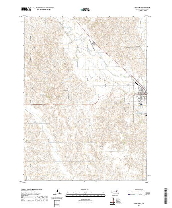
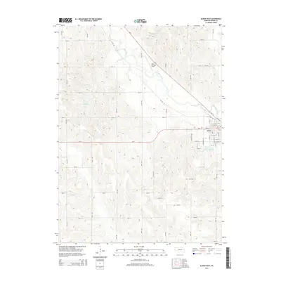
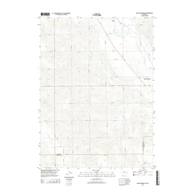
2021 Map of Albion West
USGS Topo · Published 2021About this map
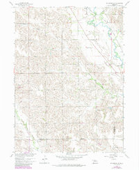
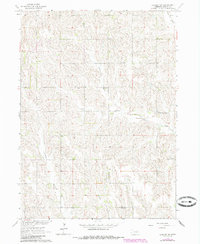
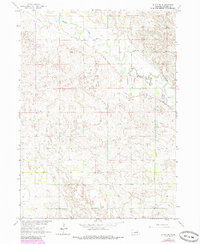
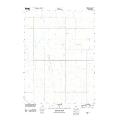
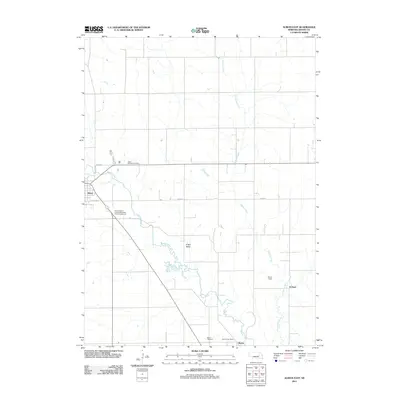
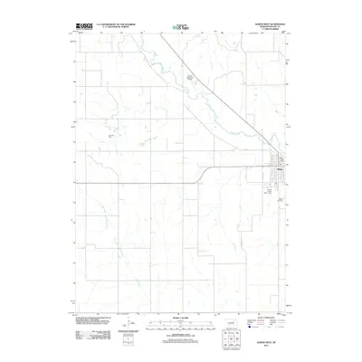
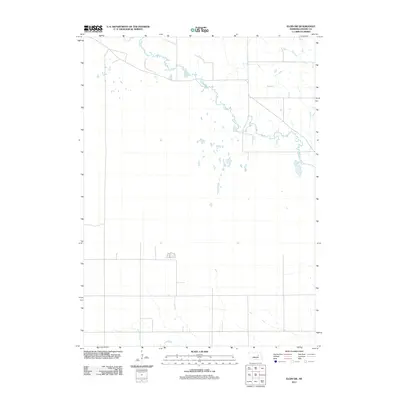
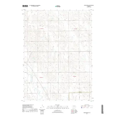
Albion serves as the focal point of this Boone County landscape, which is defined by the agricultural grid of the Nebraska plains. The downtown area is anchored by the Boone County Courthouse, with the town's residential streets extending toward the Kohtz-City of Albion Reservoir and Rose Hill Cem on the eastern edge. The surrounding countryside reveals the importance of local watercourses like Beaver Creek and Plum Cr, which deviate from the rigid section lines of the township and range system. Industrial and transportation infrastructure is evident in the Albion Municipal Airport and a network of rural routes, including the descriptively named Old Mill Rd and Mill Rd, hinting at the area's milling history and long-standing connection to local grain production.
Find a feature on this map
35 named features on this map. Tap any name to fly to it.
Don’t see what you’re looking for? This feature index may not catch every label — zoom into the map to look around manually.
Map Details
Editions of this 2021 Albion West Map
This is the sole edition of this map. No revisions or reprints were ever made.
Historical Maps of Albion Through Time
35 maps found
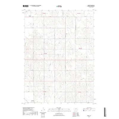
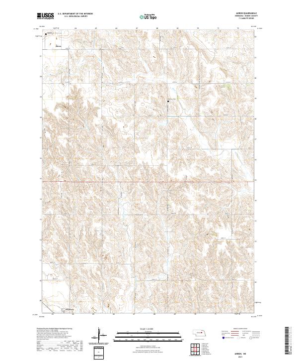
1954 Akron
Boone County, NE
1954 Albion West
Boone County, NE
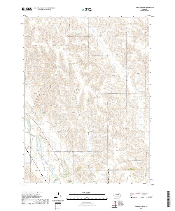
1954 Cedar Rapids SE
Boone County, NE

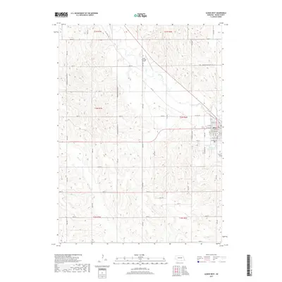
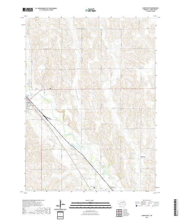
1958 Albion East
Boone County, NE
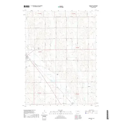
1958 St. Edward SW
Boone County, NE
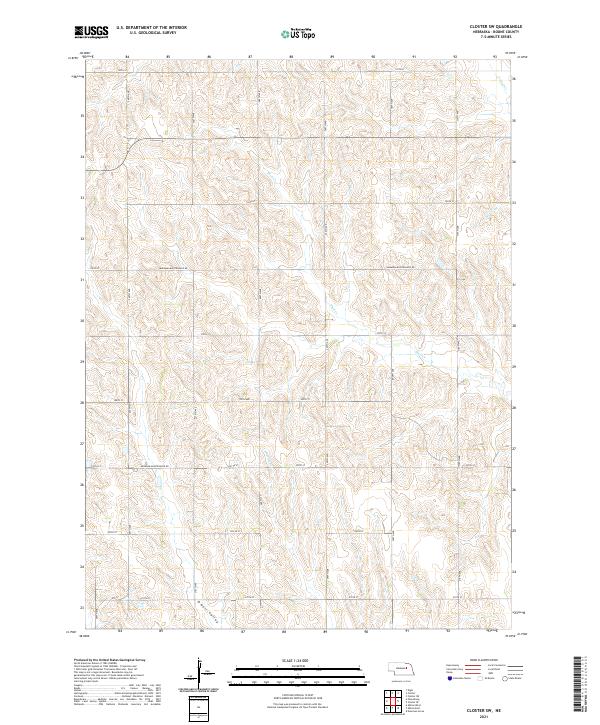
1963 Closter SW
Boone County, NE
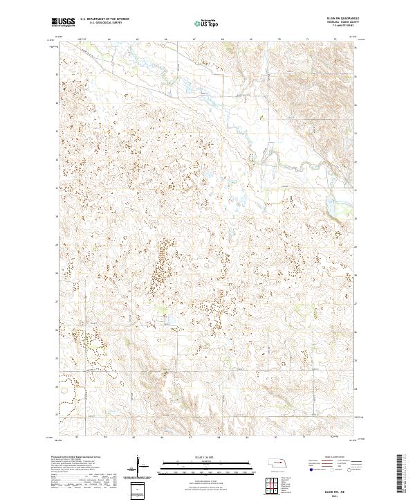
1963 Elgin SW
Boone County, NE
2011 Akron
Boone County, NE
2011 Albion East
Boone County, NE
2011 Albion West
Boone County, NE
2011 Cedar Rapids SE
Boone County, NE
2011 Closter SW
Boone County, NE
2011 Elgin SW
Boone County, NE
2011 Saint Edward SW
Boone County, NE
2014 Akron
Boone County, NE
2014 Albion East
Boone County, NE
2014 Albion West
Boone County, NE
2014 Cedar Rapids SE
Boone County, NE
2014 Closter SW
Boone County, NE
2014 Elgin SW
Boone County, NE
2014 Saint Edward SW
Boone County, NE
2017 Akron
Boone County, NE
2017 Albion East
Boone County, NE
2017 Albion West
Boone County, NE
2017 Cedar Rapids SE
Boone County, NE
2017 Closter SW
Boone County, NE
2017 Elgin SW
Boone County, NE
2017 Saint Edward SW
Boone County, NE
2021 Akron
Boone County, NE
2021 Albion East
Boone County, NE
2021 Albion West
Boone County, NE
2021 Cedar Rapids SE
Boone County, NE
2021 Closter SW
Boone County, NE
2021 Elgin SW
Boone County, NE
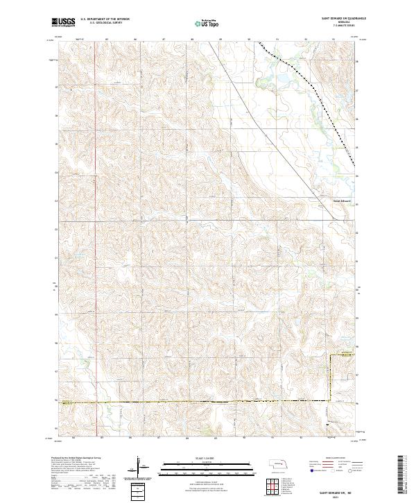
2021 Saint Edward SW
Boone County, NE