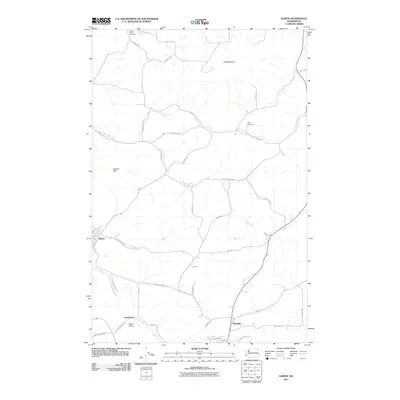
2011 Map of Albion
USGS Topo · Published 2011About this map
The town of Albion and the small settlements of Armstrong and Kitzmiller anchor this Palouse landscape in Whitman County. The terrain is defined by the winding course of the South Fork Palouse River and several of its tributaries, including Fourmile Creek and Rose Creek. Prominent landmarks such as Kamiak Butte and Smoot Hill rise above the agricultural fields and network of rural roads. Genealogists and local historians will find the exact locations of Mount Olivet Cemetery and Pitts Cemetery useful for tracing early regional family history. The infrastructure of the early 21st century is captured through sites like Eggers Airport and an extensive grid of named thoroughfares like Pullman Albion Rd and Palousealbion Rd, reflecting the transportation patterns connecting these rural communities and the surrounding wheat country.
Find a feature on this map
47 named features on this map. Tap any name to fly to it.
Don’t see what you’re looking for? This feature index may not catch every label — zoom into the map to look around manually.
Map Details
Editions of this 2011 Albion Map
This is the sole edition of this map. No revisions or reprints were ever made.
Other maps of this area
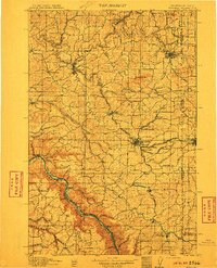
1910 · Pullman
USGS Topo · 1:125,000
1955 · Pullman
USGS Topo · 1:250,000
1958 · Pullman
USGS Topo · 1:250,000
1964 · Viola
USGS Topo · 1:24,000
1964 · Elberton
USGS Topo · 1:24,000
1964 · Moscow West
USGS Topo · 1:24,000
1964 · Colfax North
USGS Topo · 1:24,000
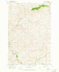
1964 · Albion
USGS Topo · 1:24,000
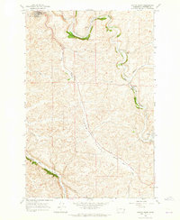
1964 · Colfax South
USGS Topo · 1:24,000
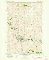
1964 · Palouse
USGS Topo · 1:24,000