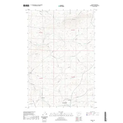
2020 Map of Albion
USGS Topo · Published 2020About this map
Albion and the northern outskirts of Pullman anchor this topographical study of the Palouse hills in Whitman County. The landscape is defined by the high elevations of Kamiak Butte and Smoot Hill, which rise above the winding drainage systems of the South Palouse River and Fourmile Creek. These waterways, along with Rose Creek and Clear Creek, have long shaped the agricultural and transport patterns of the region, creating a complex network of ridgeline roads and valley crossings.
Find a feature on this map
47 named features on this map. Tap any name to fly to it.
Don’t see what you’re looking for? This feature index may not catch every label — zoom into the map to look around manually.
Map Details
Editions of this 2020 Albion Map
This is the sole edition of this map. No revisions or reprints were ever made.
Other maps of this area
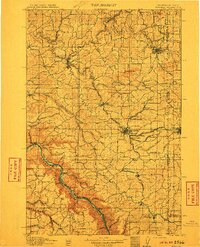
1910 · Pullman
USGS Topo · 1:125,000
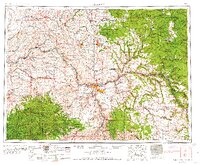
1955 · Pullman
USGS Topo · 1:250,000
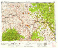
1958 · Pullman
USGS Topo · 1:250,000
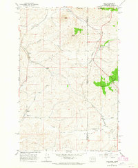
1964 · Viola
USGS Topo · 1:24,000
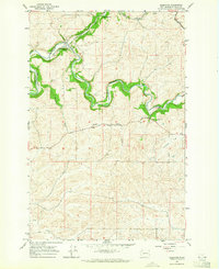
1964 · Elberton
USGS Topo · 1:24,000
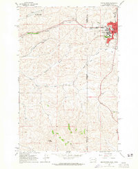
1964 · Moscow West
USGS Topo · 1:24,000
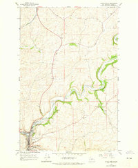
1964 · Colfax North
USGS Topo · 1:24,000
1964 · Albion
USGS Topo · 1:24,000
1964 · Colfax South
USGS Topo · 1:24,000
1964 · Palouse
USGS Topo · 1:24,000