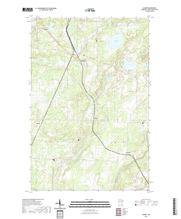
2022 Map of Alborn
USGS Topo · Published 2022About this map
Alborn and Coleraine Junction serve as the primary crossroads in this portion of St. Louis County, where the historic Alborn-Pengilly Railroad Trail follows the corridor of a former rail line. The landscape is defined by the winding course of the Artichoke River and the Cloquet River, which flow through a region punctuated by numerous wetlands and small glacial lakes like Artichoke Lake and Schelin Lake.
Find a feature on this map
61 named features on this map. Tap any name to fly to it.
Don’t see what you’re looking for? This feature index may not catch every label — zoom into the map to look around manually.
Map Details
Editions of this 2022 Alborn Map
This is the sole edition of this map. No revisions or reprints were ever made.
Other maps of this area

1953 · Canyon
USGS Topo · 1:24,000

1953 · Saginaw
USGS Topo · 1:24,000

1953 · Payne
USGS Topo · 1:24,000

1953 · Alborn
USGS Topo · 1:24,000

1953 · Brookston
USGS Topo · 1:24,000

1953 · Independence
USGS Topo · 1:24,000

1953 · Brookston NW
USGS Topo · 1:24,000

1953 · Duluth
USGS Topo · 1:250,000

1954 · Martin Lake
USGS Topo · 1:24,000

1954 · Hibbing
USGS Topo · 1:250,000