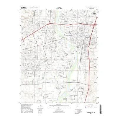
2017 Map of Albuquerque West
USGS Topo · Published 2017About this map
Old Town and the historic heart of Albuquerque sit at the center of this landscape, where the Rio Grande creates a lush corridor of irrigation through the high desert. A complex network of historic water management features, including the Atrisco Riverside Drain, Griegos Drain, and Campbell Ditch, illustrates how the valley's agriculture has long relied on these vital arteries. The transition from the established settlements of Los Duranes and Barelas to the volcanic escarpment of Petroglyph National Monument in the west shows the city's geographical constraints and unique cultural heritage. Transportation is a defining theme here, with the BNSF Railway corridor and major crossings like the Barelas Bridge connecting the residential neighborhoods of South Valley and Arenal to the commercial hubs and the Albuquerque International Sunport in the southeast.
Find a feature on this map
56 named features on this map. Tap any name to fly to it.
Don’t see what you’re looking for? This feature index may not catch every label — zoom into the map to look around manually.
Map Details
Editions of this 2017 Albuquerque West Map
This is the sole edition of this map. No revisions or reprints were ever made.
Other maps of this area

1888 · Bernalillo
USGS Topo · 1:125,000

1889 · Albuquerque
USGS Topo · 1:125,000

1893 · Albuquerque
USGS Topo · 1:125,000

1934 · Alameda
USGS Topo · 1:24,000

1934 · West Albuquerque
USGS Topo · 1:24,000

1934 · Griegos
USGS Topo · 1:24,000

1934 · East Albuquerque
USGS Topo · 1:24,000

1938 · Albuquerque
USGS Topo · 1:62,500

1952 · Wind Mesa
USGS Topo · 1:24,000

1952 · Hubbell Spring
USGS Topo · 1:24,000