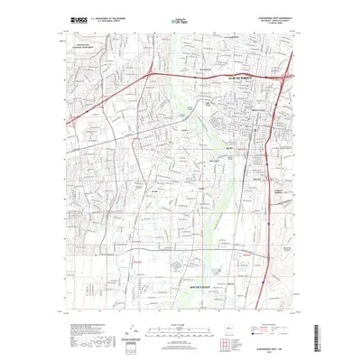
2020 Map of Albuquerque West
USGS Topo · Published 2020About this map
The Rio Grande cuts through the center of this modern landscape, serving as a corridor for the Albuquerque Bosque Singletrack and a dividing line between historic neighborhoods. To the west, the volcanic terrain of the Petroglyph National Monument rises from Rinconada Canyon, while the eastern banks are dense with the established grid of Albuquerque. Traditional communities like Old Town, Atrisco, and Los Duranés remain clearly defined, connected by crossings such as the Old Town Bridge and Barelas Bridge.
Find a feature on this map
38 named features on this map. Tap any name to fly to it.
Don’t see what you’re looking for? This feature index may not catch every label — zoom into the map to look around manually.
Map Details
Editions of this 2020 Albuquerque West Map
This is the sole edition of this map. No revisions or reprints were ever made.
Other maps of this area

1888 · Bernalillo
USGS Topo · 1:125,000

1889 · Albuquerque
USGS Topo · 1:125,000

1893 · Albuquerque
USGS Topo · 1:125,000

1934 · Alameda
USGS Topo · 1:24,000

1934 · West Albuquerque
USGS Topo · 1:24,000

1934 · Griegos
USGS Topo · 1:24,000

1934 · East Albuquerque
USGS Topo · 1:24,000

1938 · Albuquerque
USGS Topo · 1:62,500

1952 · Wind Mesa
USGS Topo · 1:24,000

1952 · Hubbell Spring
USGS Topo · 1:24,000