
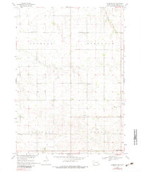
1968 Map of Alcester NW
USGS Topo · Published 1970About this map
Lincoln County townships such as Highland, Pleasant, and Norway characterize this rural landscape during a period of established agricultural density. The map reveals a highly localized social infrastructure, where one-room schoolhouses like Cottage Grove Sch and Plain View Sch are spaced frequently across the grid-pattern roads. These small landmarks, alongside country congregations at Zion Ch and Romsdal Ch, reflect the mid-century community life of southeastern South Dakota before the consolidation of rural districts. Natural drainage systems, including the winding Little Beaver Creek and Saddle Creek, intersect the rectilinear sections, while small industrial sites like a Gravel Pit near Pleasant Valley Sch show the local extraction necessary for maintaining the county's road network. At the corner of the survey, Norway Center stands as a primary focal point for the surrounding farmsteads.
Find a feature on this map
21 named features on this map. Tap any name to fly to it.
Don’t see what you’re looking for? This feature index may not catch every label — zoom into the map to look around manually.
Map Details
Editions of this 1968 Alcester NW Map
2 editions found
Other maps of this area

1897 · Canton
USGS Topo · 1:125,000

1900 · Canton
USGS Topo · 1:125,000

1955 · Sioux Falls
USGS Topo · 1:250,000

1958 · Sioux Falls
USGS Topo · 1:250,000

1962 · Canton
USGS Topo · 1:24,000

1964 · Canton SW
USGS Topo · 1:24,000

1964 · Worthing
USGS Topo · 1:24,000

1968 · Alcester NE
USGS Topo · 1:24,000
1968 · Alcester
USGS Topo · 1:24,000
1968 · Alcester SE
USGS Topo · 1:24,000