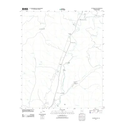
2011 Map of Alchesay Flat
USGS Topo · Published 2011About this map
The North Fork White River serves as the central artery for this remote portion of Navajo County, carving through a landscape defined by deep canyons and high flats. The Alchesay National Fish Hatchery stands as a significant point of human intervention along the river, supported by several recreation areas including the Alchesay Springs Campground and Diamond Creek Junction Campground.
Find a feature on this map
62 named features on this map. Tap any name to fly to it.
Don’t see what you’re looking for? This feature index may not catch every label — zoom into the map to look around manually.
Map Details
Editions of this 2011 Alchesay Flat Map
This is the sole edition of this map. No revisions or reprints were ever made.
Other maps of this area

1886 · St Johns
USGS Topo · 1:250,000

1886 · Holbrook
USGS Topo · 1:250,000

1892 · St Johns
USGS Topo · 1:250,000

1893 · Holbrook
USGS Topo · 1:250,000

1954 · Holbrook
USGS Topo · 1:250,000

1954 · Clifton
USGS Topo · 1:250,000

1954 · Saint Johns
USGS Topo · 1:250,000

1954 · Mesa
USGS Topo · 1:250,000

1957 · Mesa
USGS Topo · 1:250,000

1957 · Holbrook
USGS Topo · 1:250,000