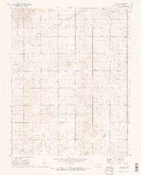
1971 Map of Alden SE
USGS Topo · Published 1972About this map
Huntsville serves as the primary landmark in this rural landscape of northern Reno County, characterized by a grid of agricultural fields and oil exploration. Local community life is centered around the Townhall and religious sites like Sterling Ch, while the Huntsville Cem and Pleasant View Cem provide critical touchpoints for genealogists researching family ties in Huntsville and North Hayes townships. The hydrology of the region is defined by the winding paths of Peace Creek and Salt Creek, which cut through the terrain. Evidence of the local extraction economy is visible in the numerous Oil Wells and Oil Well sites scattered throughout the western sections, indicating the significance of the energy industry to the area during the early 1970s.
Find a feature on this map
17 named features on this map. Tap any name to fly to it.
Don’t see what you’re looking for? This feature index may not catch every label — zoom into the map to look around manually.
Map Details
Editions of this 1971 Alden SE Map
2 editions found
Other maps of this area

1892 · Kingman
USGS Topo · 1:125,000

1894 · Kingman
USGS Topo · 1:125,000

1894 · Lyons
USGS Topo · 1:125,000

1955 · Great Bend
USGS Topo · 1:250,000

1955 · Pratt
USGS Topo · 1:250,000

1957 · Great Bend
USGS Topo · 1:250,000

1958 · Great Bend
USGS Topo · 1:250,000

1959 · Pratt
USGS Topo · 1:250,000

1966 · Sterling SW
USGS Topo · 1:24,000

1967 · Alden
USGS Topo · 1:24,000