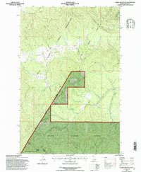
1994 Map of Alder Creek Flats
USGS Topo · Published 1997About this map
The Coeur D'Alene Indian Reservation and St Joe National Forest meet in this mountainous terrain of Benewah County, Idaho. The landscape is defined by the drainage systems of the North Fork Coeur D'Alene River and Alder Creek, which give way to the relatively level Alder Creek Flats. This 1994 revision reflects a heavily managed timber and conservation landscape, where the St Maries Palouse Ranger District oversees large tracts of land while smaller features like Beaver Ponds and a Gravel Pit indicate localized natural and industrial activity.
Find a feature on this map
15 named features on this map. Tap any name to fly to it.
Don’t see what you’re looking for? This feature index may not catch every label — zoom into the map to look around manually.
Map Details
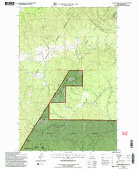
Editions of this 1994 Alder Creek Flats Map
2 editions found
Other maps of this area

1955 · Spokane
USGS Topo · 1:250,000

1957 · St. Maries
USGS Topo · 1:62,500

1957 · Emida
USGS Topo · 1:62,500

1957 · Plummer
USGS Topo · 1:62,500

1957 · Tensed
USGS Topo · 1:62,500

1958 · Spokane
USGS Topo · 1:250,000

1975 · Plummer SE
USGS Topo · 1:24,000

1981 · St Maries
USGS Topo · 1:100,000
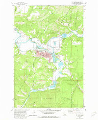
1981 · St Maries
USGS Topo · 1:24,000
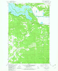
1981 · Benewah Lake
USGS Topo · 1:24,000