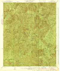
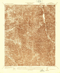
1941 Map of Alder Creek
USGS Topo · Published 1941About this map
The Angeles National Forest dominates this 1935 survey, a terrain defined by the high elevations of the San Gabriel Mountains. In the decades before modern development encroached upon these slopes, the region supported specialized activities ranging from ranching at the Loomis Ranch to resource extraction at the Monte Cristo Mine and Falcon Mine. The landscape is a network of deep drainages such as Big Tujunga Canyon and Santiago Canyon, which necessitated the construction of early infrastructure like the Angeles Crest Highway and several Firebreak lines to protect the timber and water resources.
Find a feature on this map
29 named features on this map. Tap any name to fly to it.
Don’t see what you’re looking for? This feature index may not catch every label — zoom into the map to look around manually.
Map Details
Editions of this 1941 Alder Creek Map
3 editions found
Other maps of this area

1900 · Tujunga
USGS Topo · 1:62,500

1901 · Southern California Sheet No. 1
USGS Topo · 1:250,000

1903 · Rock Creek
USGS Topo · 1:62,500

1904 · Southern California Sheet No. 1
USGS Topo · 1:250,000
1934 · Cima Mesa
USGS Topo · 1:24,000
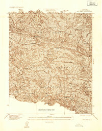
1934 · Mt. Lowe
USGS Topo · 1:24,000
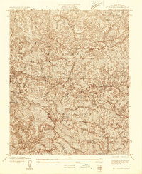
1934 · Mt. Wilson
USGS Topo · 1:24,000
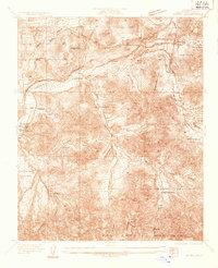
1934 · Acton
USGS Topo · 1:24,000
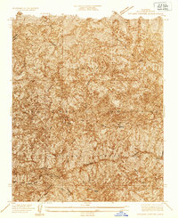
1934 · Chileno Canyon
USGS Topo · 1:24,000
1935 · Mt. Emma
USGS Topo · 1:24,000