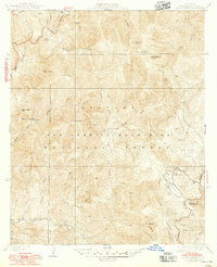
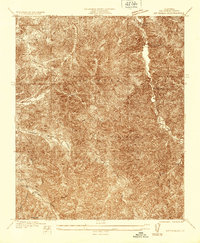
1941 Map of Alder Creek
USGS Topo · Published 1948About this map
Mining and mountain ranching define this mid-century landscape within the Angeles National Forest. Isolated operations like the Falcon Mine and Monte Cristo Mine are visible along the steep drainages of the San Gabriel Mountains, highlighting the region's historical extractive industry. The high-altitude terrain is marked by prominent peaks such as Pacifico Mtn and Granite Mtn, with Loomis Ranch providing a rare human settlement in the rugged interior north of the North Fork Middle Fork.
Find a feature on this map
26 named features on this map. Tap any name to fly to it.
Don’t see what you’re looking for? This feature index may not catch every label — zoom into the map to look around manually.
Map Details
Editions of this 1941 Alder Creek Map
3 editions found
Other maps of this area

1900 · Tujunga
USGS Topo · 1:62,500

1901 · Southern California Sheet No. 1
USGS Topo · 1:250,000

1903 · Rock Creek
USGS Topo · 1:62,500

1904 · Southern California Sheet No. 1
USGS Topo · 1:250,000
1934 · Cima Mesa
USGS Topo · 1:24,000
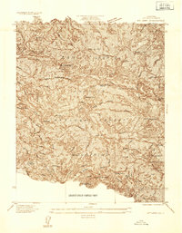
1934 · Mt. Lowe
USGS Topo · 1:24,000
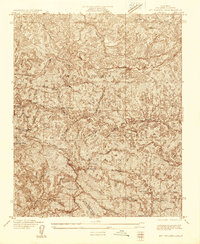
1934 · Mt. Wilson
USGS Topo · 1:24,000
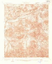
1934 · Acton
USGS Topo · 1:24,000
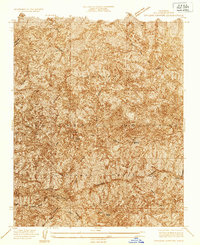
1934 · Chileno Canyon
USGS Topo · 1:24,000
1935 · Mt. Emma
USGS Topo · 1:24,000