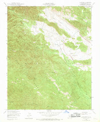
1949 Map of Alder Peak
USGS Topo · Published 1969About this map
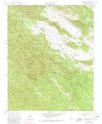
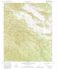
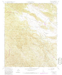
The Hunter Liggett Military Reservation dominates the central terrain of this quadrangle, illustrating the mid-century intersection of military training grounds and public land management. This transition is marked by the Forest Boundary where the reservation meets the rugged slopes of the Los Padres National Forest. The landscape is defined by the high peaks of the Santa Lucia Range, including the prominent Alder Peak, which overlooks a network of seasonal drainages such as Slickrock Creek and the North Fork of Los Burros Creek.
Find a feature on this map
22 named features on this map. Tap any name to fly to it.
Don’t see what you’re looking for? This feature index may not catch every label — zoom into the map to look around manually.
Map Details
Editions of this 1949 Alder Peak Map
7 editions found
Other maps of this area

1919 · King City
USGS Topo · 1:62,500

1919 · Junipero Serra
USGS Topo · 1:62,500

1919 · Bryson
USGS Topo · 1:62,500

1921 · Cape San Martin
USGS Topo · 1:62,500

1939 · King City
USGS Topo · 1:62,500

1941 · Cape San Martin
USGS Topo · 1:62,500

1941 · Junipero Serra
USGS Topo · 1:62,500

1941 · Bryson
USGS Topo · 1:62,500

1942 · Bryson
USGS Topo · 1:62,500

1942 · Cape San Martin
USGS Topo · 1:62,500