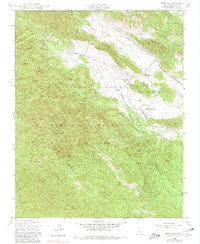
1949 Map of Alder Peak
USGS Topo · Published 1980About this map
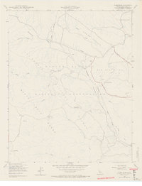
Hunter Liggett Military Reservation and the Los Padres National Forest dominate this landscape, illustrating the mid-century intersection of federal military training grounds and protected wilderness. The terrain is defined by the sharp elevations of the Santa Lucia Range, rising to the prominent summit of Alder Peak. Settlement is sparse, with the San Miguelito Ranch and a few isolated outposts like an Observation Post serving as the primary human markers.
Find a feature on this map
24 named features on this map. Tap any name to fly to it.
Don’t see what you’re looking for? This feature index may not catch every label — zoom into the map to look around manually.
Map Details
Editions of this 1949 Alder Peak Map
7 editions found
Other maps of this area

1919 · King City
USGS Topo · 1:62,500

1919 · Junipero Serra
USGS Topo · 1:62,500

1919 · Bryson
USGS Topo · 1:62,500

1921 · Cape San Martin
USGS Topo · 1:62,500

1939 · King City
USGS Topo · 1:62,500

1941 · Cape San Martin
USGS Topo · 1:62,500

1941 · Junipero Serra
USGS Topo · 1:62,500

1941 · Bryson
USGS Topo · 1:62,500

1942 · Bryson
USGS Topo · 1:62,500

1942 · Cape San Martin
USGS Topo · 1:62,500