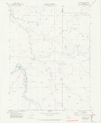
1969 Map of Alderpoint
USGS Topo · Published 1974About this map
The Eel River carves a deep valley through this Humboldt County landscape, where the town of Alderpoint serves as a small hub for the surrounding ranching and timber country. The Northwestern Pacific railroad follows the river's eastern bank, passing landmarks like the Cain Rock Crossing and a riverside Landing Strip. Local education and infrastructure are evidenced by the Casterlin Sch and Jewett Sch, alongside the Alderpoint Forest Fire Sta.
Find a feature on this map
56 named features on this map. Tap any name to fly to it.
Don’t see what you’re looking for? This feature index may not catch every label — zoom into the map to look around manually.
Map Details
Editions of this 1969 Alderpoint Map
2 editions found
Other maps of this area
1918 · Anada
USGS Topo · 1:62,500
1920 · Harris
USGS Topo · 1:62,500
1921 · Hoaglin
USGS Topo · 1:62,500
1922 · Island Mountain
USGS Topo · 1:62,500
1931 · Hoaglin
USGS Topo · 1:96,000
1935 · Hoaglin
USGS Topo · 1:125,000
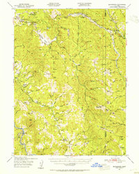
1949 · Blocksburg
USGS Topo · 1:62,500
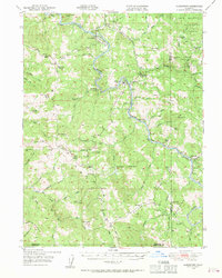
1949 · Alderpoint
USGS Topo · 1:62,500
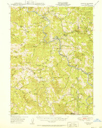
1951 · Alderpoint
USGS Topo · 1:62,500
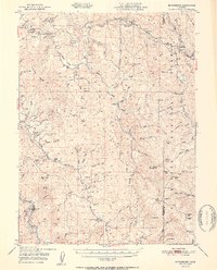
1951 · Blocksburg
USGS Topo · 1:62,500