
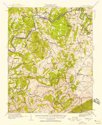
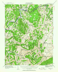
1921 Map of Alderson
USGS Topo · Published 1921About this map
Alderson and the winding course of the Greenbrier River anchor this 1920s survey of the borderlands between Summers and Monroe Counties. The Chesapeake and Ohio railroad corridor serves as the primary artery for river-valley towns like Talcott and Pence Springs, while the surrounding uplands are defined by a dense network of local landmarks. The map reveals an exceptionally granular distribution of social centers, featuring nearly thirty distinct school sites such as Spider Den School and Detroit School, alongside rural meeting houses like Trinity Church.
Find a feature on this map
80 named features on this map. Tap any name to fly to it.
Don’t see what you’re looking for? This feature index may not catch every label — zoom into the map to look around manually.
Map Details
Editions of this 1921 Alderson Map
3 editions found
Other maps of this area

1887 · Hinton
USGS Topo · 1:125,000

1887 · Lewisburg
USGS Topo · 1:125,000

1890 · Dublin
USGS Topo · 1:125,000

1890 · Christiansburg
USGS Topo · 1:125,000

1891 · Lewisburg
USGS Topo · 1:125,000

1891 · Dublin
USGS Topo · 1:125,000

1892 · Hinton
USGS Topo · 1:125,000

1912 · Meadow Creek
USGS Topo · 1:48,000

1912 · Big Bend
USGS Topo · 1:62,500

1913 · Peterstown
USGS Topo · 1:48,000