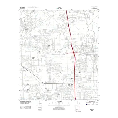
2010 Map of Aldine
USGS Topo · Published 2010About this map
Greens Bayou and Halls Bayou wind through this urbanized landscape north of central Houston, where residential developments such as Northcliffe Manor, Lincoln Green East, and Inwood West fill the gaps between major thoroughfares. The map documents the intricate neighborhood street grids and major highway infrastructure, including the intersection of Beltway 8 and I-45. Genealogists will find several notable burial sites recorded, including Paradise Cemetery, Beautiful Restlawn Cemetery, and Saint Joseph Cemetery in the southeastern quadrant. The settlement of Aldine remains a focal point in the east, characterized by its position near the confluence of the region's bayous and evolving transportation corridors.
Find a feature on this map
90 named features on this map. Tap any name to fly to it.
Don’t see what you’re looking for? This feature index may not catch every label — zoom into the map to look around manually.
Map Details
Editions of this 2010 Aldine Map
This is the sole edition of this map. No revisions or reprints were ever made.
Other maps of this area

1915 · Houston Heights
USGS Topo · 1:24,000

1915 · Hillendahl
USGS Topo · 1:24,000

1916 · Aldine
USGS Topo · 1:24,000

1916 · Settegast
USGS Topo · 1:24,000

1916 · Louetta
USGS Topo · 1:24,000

1916 · Satsuma
USGS Topo · 1:24,000

1916 · Humble
USGS Topo · 1:24,000

1916 · Spring
USGS Topo · 1:24,000

1918 · Hillendahl
USGS Topo · 1:31,680

1919 · Aldine
USGS Topo · 1:31,680