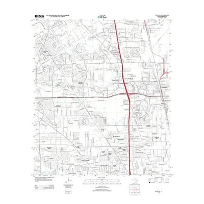
2013 Map of Aldine
USGS Topo · Published 2013About this map
Houston National Cem serves as a prominent landmark in this northern Harris County landscape, a region defined by the winding paths of Greens Bayou and Halls Bayou. The area shows a dense network of suburban developments and established communities, ranging from Fountainhead in the northwest to Lincoln City and Highland Gardens in the south. The expansion of transportation infrastructure is evident through the path of the Hardy Toll Rd N and N Sam Houston Pkwy W, which cut through older tracts like Recreation Farms and Yale Gardens. Local history and genealogy researchers will find several notable burial sites beyond the national cemetery, including Paradise Cem, Beautiful Cem, and Restlawn Cem, providing a detailed look at the settlement patterns and community centers of this Houston suburb in the early 21st century.
Find a feature on this map
55 named features on this map. Tap any name to fly to it.
Don’t see what you’re looking for? This feature index may not catch every label — zoom into the map to look around manually.
Map Details
Editions of this 2013 Aldine Map
This is the sole edition of this map. No revisions or reprints were ever made.
Other maps of this area

1915 · Houston Heights
USGS Topo · 1:24,000

1915 · Hillendahl
USGS Topo · 1:24,000

1916 · Aldine
USGS Topo · 1:24,000

1916 · Settegast
USGS Topo · 1:24,000

1916 · Louetta
USGS Topo · 1:24,000

1916 · Satsuma
USGS Topo · 1:24,000

1916 · Humble
USGS Topo · 1:24,000

1916 · Spring
USGS Topo · 1:24,000

1918 · Hillendahl
USGS Topo · 1:31,680

1919 · Aldine
USGS Topo · 1:31,680