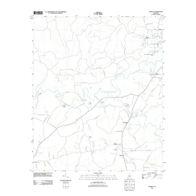
2011 Map of Aldrich
USGS Topo · Published 2011About this map
University of Montevallo property and its surrounding lakefronts define the northern portion of this landscape, where College Lake and the University of Montevallo Lake sit near the settlement of Aldrich. The terrain follows the winding path of the Little Cahaba River, which flows past landmarks like McGuire Ford and Fitch Bridge. This area is characterized by several small rural hubs including Wilton, Brierfield, and Ashby, each connected by a network of local routes like Furnace Pkwy.
Find a feature on this map
80 named features on this map. Tap any name to fly to it.
Don’t see what you’re looking for? This feature index may not catch every label — zoom into the map to look around manually.
Map Details
Editions of this 2011 Aldrich Map
This is the sole edition of this map. No revisions or reprints were ever made.
Other maps of this area

1890 · Bessemer
USGS Topo · 1:125,000

1891 · Clanton
USGS Topo · 1:125,000

1892 · Bessemer
USGS Topo · 1:125,000

1899 · Brookwood
USGS Topo · 1:125,000

1910 · Montevallo
USGS Topo · 1:62,500

1934 · Blocton
USGS Topo · 1:48,000

1940 · Blocton
USGS Topo · 1:62,500

1953 · Montgomery
USGS Topo · 1:250,000

1953 · Birmingham
USGS Topo · 1:250,000

1956 · Birmingham
USGS Topo · 1:250,000