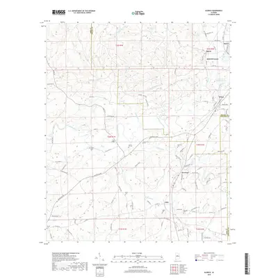
2018 Map of Aldrich
USGS Topo · Published 2018About this map
Montevallo and its surrounding countryside define this portion of central Alabama, where the meeting of Shelby, Bibb, and Chilton counties creates a complex map of rural settlements and watercourses. The Little Cahaba River snakes through the western portion of the quadrangle, punctuated by crossings like Fitch Bridge, while the town of Wilton serves as a junction point to the east. The landscape is dotted with small communities such as Aldrich and Ashby, each anchored by historical burial grounds including Ashby Cem and Brierfield Cem.
Find a feature on this map
108 named features on this map. Tap any name to fly to it.
Don’t see what you’re looking for? This feature index may not catch every label — zoom into the map to look around manually.
Map Details
Editions of this 2018 Aldrich Map
This is the sole edition of this map. No revisions or reprints were ever made.
Other maps of this area

1890 · Bessemer
USGS Topo · 1:125,000

1891 · Clanton
USGS Topo · 1:125,000

1892 · Bessemer
USGS Topo · 1:125,000

1899 · Brookwood
USGS Topo · 1:125,000

1910 · Montevallo
USGS Topo · 1:62,500

1934 · Blocton
USGS Topo · 1:48,000

1940 · Blocton
USGS Topo · 1:62,500

1953 · Montgomery
USGS Topo · 1:250,000

1953 · Birmingham
USGS Topo · 1:250,000

1956 · Birmingham
USGS Topo · 1:250,000