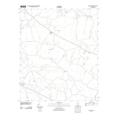
2011 Map of Alexander
USGS Topo · Published 2011About this map
Brier Creek snakes across the center of this Burke County landscape, serving as a primary drainage corridor for numerous tributaries like Rocky Creek and Chickasaw Branch. The settlement of Alexander anchors the southwest corner of the map, while Telfair Woods sits to the north. This 2011 survey reveals a territory defined by timbered tracts and a extensive network of rural roads, many bearing family names that indicate long-standing local heritage, such as Jack Delaigle Rd and Boll Weevil Rd.
Find a feature on this map
62 named features on this map. Tap any name to fly to it.
Don’t see what you’re looking for? This feature index may not catch every label — zoom into the map to look around manually.
Map Details
Editions of this 2011 Alexander Map
This is the sole edition of this map. No revisions or reprints were ever made.
Other maps of this area

1920 · Ellenton
USGS Topo · 1:48,000

1920 · Hilltonia
USGS Topo · 1:62,500

1920 · Millen
USGS Topo · 1:62,500

1920 · Greens Cut
USGS Topo · 1:62,500

1921 · Ellenton
USGS Topo · 1:62,500

1943 · Hilltonia
USGS Topo · 1:62,500

1943 · Greens Cut
USGS Topo · 1:62,500

1943 · Millen
USGS Topo · 1:62,500

1943 · Augusta East
USGS Topo · 1:125,000

1943 · Millen
USGS Topo · 1:125,000